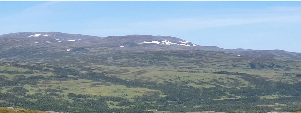
Capella’s Kjøli copper-zinc-cobalt (“Cu-Zn-Co) massive sulfide (“VMS”) project represents a district-scale land position in the northern part of the Røros copper mining district, central Norway. The Røros district saw production from a number of high-grade VMS deposits from the mid-1600’s until their closure in the mid-1980’s due to low copper prices. The Kjøli project covers the former Kjøli and Killingdal copper mining operations, together with approximately 20 km strike of underexplored but highly-prospective stratigraphy for the discovery of new copper-rich VMS deposits.
Capella completed its drill targeting work at Kjøli and identified 4 priority target areas – Kjøli Deeps, Kjøli, Grønskard, and Guldalsgruva – for drill testing. Permits were subsequently received from the Norwegian Directorate of Mining for up to 4,000m of diamond drilling in 25 holes at Kjøli. The planned 4,000m drill program is expected to take around 2 months to complete.
The Kjøli project represents a key element in Capella’s strategy of establishing a district-scale mining centre in conjunction with the recently acquired Hessjøgruva Cu-Zn-Co project.
| Location | 85km SE of Trondheim, central Norway |
| Ownership | 100% Capella Minerals Ltd 2.5% NSR to EMX Royalty, with 0.5% purchasable for USD1M |
| Status | Brownfields and greenfields exploration |
| Deposit types | High-grade copper-rich VMS deposits |
| Property Size | 24,600 Ha / 246 sq. km. |
| Host Rocks | Meta-volcanic and sedimentary sequences |
| Age | Cambro-Silurian, Ordovician orogeny |
| Main Economic Elements | Copper, Zinc, Silver, Gold |
| Access | All weather paved highways and gravel roads |
The Kjøli property is favourably located adjacent to the main Trondheim-Røros highway and railway line. The Nesjodammen hydroelectric plant is also located approximately 10km to the NE.
Kjøli Project Update
Kjøli represents a drill-ready, high-grade Cu-Zn-Co project located in the northern part of the Røros mining district. Detailed evaluation of exploration data acquired at Kjøli during 2021 - including the use of CARDS AI “data mining” technology, and the first-time use of ground gravity techniques in Norway in exploring for new VMS deposits - resulted in the definition of 4 main target areas for drill testing: Kjøli Deeps, Kjøli, Grønskard, and Guldalsgruva (Figures 1 & 2). Permits were subsequently obtained from the Norwegian Directorate of Mining for up to 4,000m of diamond drilling in 25 holes, with drilling of the entire planned program expected to take around 2 months.
Primary target areas identified for drilling included:
- the Grønskard, Kjøli, and Guldalsgruva targets, all of which are located along the main prospective horizon for VMS deposits, and
- Kjøli Deeps, a large (>2km strike length), deep (>350m) electromagnetic (“EM”) conductor which is interpreted by the Company to represent a buried, NW-dipping massive sulfide body. Kjøli Deeps may also represent a “stacked lens” that underlies the main Kjøli target.

Figure 1. Location of the Kjøli Project and the recently acquired Hessjøgruva Project. Priority drill targets at the Kjøli Project – Kjøli Deeps, Kjøli, Grønskard and Guldalsgruva – are also indicated.
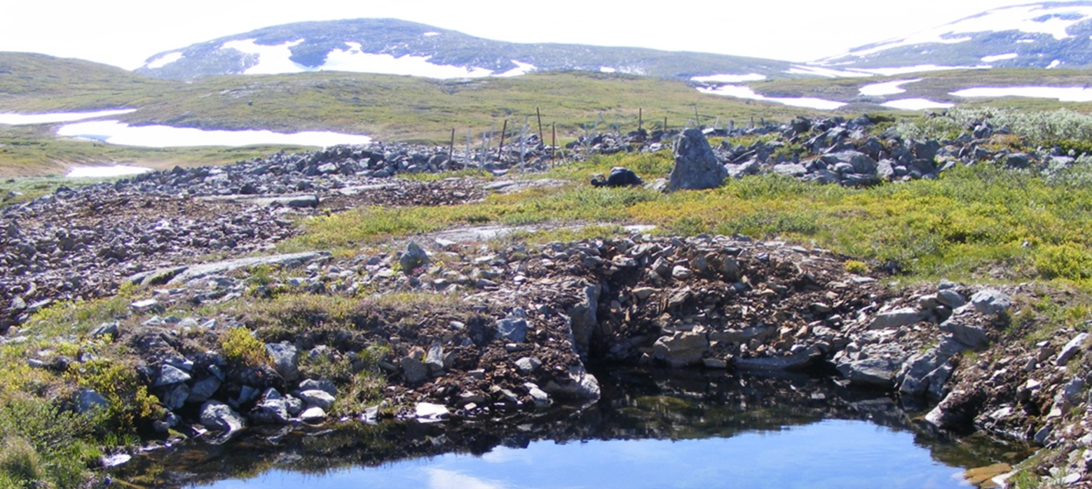
Figure 2. Guldalsgruva copper-zinc workings, Kjøli project.